
King Fire Restoration and Botanical Surveys
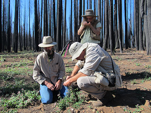
To assist the U.S. Forest Service with their habitat restoration and emergency response efforts, five teams of HELIX Environmental Planning (HELIX) biologists conducted large-scale botanical surveys to identify and map sensitive and invasive plants on over 8,000 acres of Eldorado National Forest that was burned as a result of the King Fire. The King Fire burned over 97,000 acres in El Dorado County, California between September and October 2014, of which approximately 63,000 acres occur on Eldorado National Forest lands. The invasive plant surveys conducted by HELIX were first season efforts at monitoring and control following the fire, and focused on areas disturbed by fire suppression efforts (e.g., fire lines, roads used by fire equipment, and drop points). The locations and extent of infestations were documented using Geographic Information Systems (GIS) technology and provided to the Eldorado National Forest botanist for use in the Forest Service’s database and monitoring efforts. Additionally, HELIX prepared the Affected Environment and Environmental Effects sections of the King Fire Restoration Project Environmental Impact Statement (EIS) and conducted data processing and analysis for use in the associated Biological Evaluation/Biological Assessment (BE/BA) document for five protected aquatic wildlife species. The locations and extent of target species and sensitive habitats was collected using handheld Geographic Positioning System (GPS) units, customized mapbooks on iPads, and digitized field forms on iPads. Restoration efforts are expected to include logging to salvage burned trees for lumber, removing damaged trees for safety reasons, replanting, prescribed burn, and erosion control.